Tesla's Shift: Building Maps to Address FSD Issues in 55% of Brussels Low-Speed Zones
Tesla is now constructing proprietary map data to resolve persistent failures in speed limit recognition and navigation within its autonomous driving software.
By Anna Nowak ·
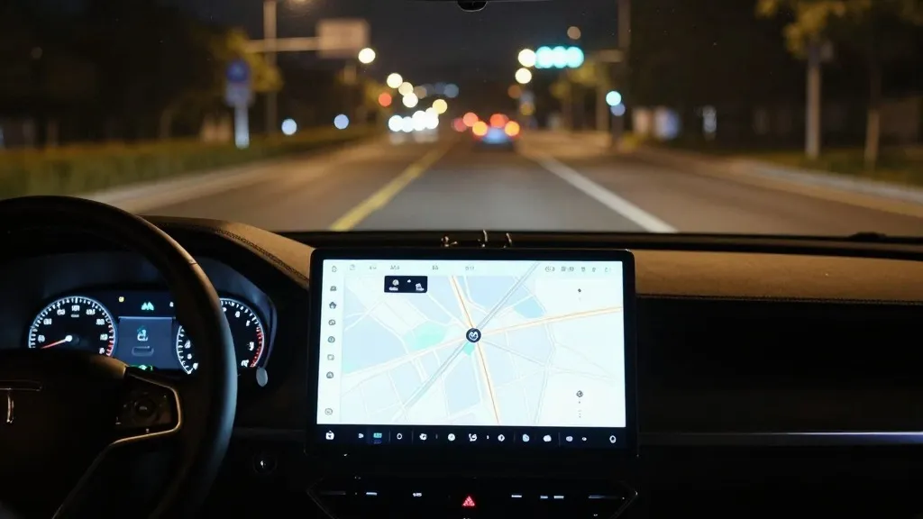
For drivers in New England and beyond, Tesla's Full Self-Driving system has long struggled with basic navigation tasks, often failing to correctly identify speed limits, manage parking, or select optimal routes. This week, the company outlined a plan to address these shortcomings by developing its own proprietary mapping infrastructure, a decision that marks a significant departure from its previous stance that self-driving technology should rely solely on cameras and artificial intelligence without external map data. The announcement came during the company's earnings call, specifically in response to shareholder inquiries regarding persistent issues with the system's performance.
The core of the issue lies in the system's inability to reliably interpret environmental data. Tesla's Vice of AI, Ashok Elluswamy, acknowledged that the company 'shouldn’t be depending on external people’s maps' and confirmed that a new AI-based architecture is being developed. This system will utilize data collected collectively from the fleet to construct a map layer, which will eventually learn individual driver preferences and respond to voice commands for navigation. The rollout is scheduled to begin with the upcoming FSD v15 software update, which will handle the start and end of trips, followed by updates in subsequent months that will take over navigation, parking, and destination handling.
The urgency of this new direction is underscored by recent performance metrics. A Belgian road safety group found that in 55% of 30 km/h zones tested in Brussels last month, the system exceeded the limit, averaging 44 km/h. Furthermore, the National Highway Traffic Safety Administration (NHTSA) is currently considering an investigation into reports that Tesla Robotaxis are speeding through active school zones, a concern that covers roughly 1,000 Model Y and Cybercab vehicles. These incidents highlight a failure in the vision system to accurately read and apply basic road signs, a capability the company has previously emphasized as a strength.
This pivot represents a notable shift in Tesla's long-standing narrative regarding autonomous driving architecture. In 2015, the company began building high-precision maps with extreme granularity using data from customer cars. However, at its Autonomy Day in 2019, CEO Elon Musk reversed course, stating that relying on high-precision lane maps was a 'huge mistake' and a 'really bad idea' because such dependency makes a self-driving system 'extremely brittle.' During the same presentation, he also dismissed lidar as a 'fool’s errand,' reinforcing the company's commitment to a vision-only approach. Now, seven years later, the company is returning to map construction to support its autonomous capabilities.
While Tesla is creating its own map layer, the company maintains that this approach differs fundamentally from competitors like Waymo, who utilize lidar-equipped vehicles to build high-definition maps. Tesla's system does not currently require centimeter-level precision or lidar technology to function. However, critics point out that the underlying methodology remains similar: both companies are using their fleets to map roads to assist the vehicle in determining what it cannot reliably figure out on its own. The primary distinction lies in the hardware used to gather that data.
Ultimately, the development of this map layer signals a move toward operating within geofenced service areas, a strategy that contradicts earlier claims that the technology would work anywhere through vision alone. The company's Robotaxi service already operates within small, restricted zones, and the addition of a fleet-built map further aligns the system with this operational model. By building a map from the collective experience of millions of cars, the company aims to create a resource that helps every vehicle navigate more effectively, particularly in complex or low-speed environments.
Source: Electrek